SCANG.DAT
Jump to navigation
Jump to search
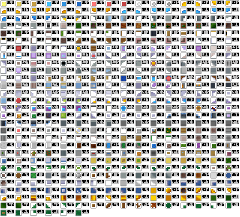
Stored in the GEODATA folder, SCANG.DAT is used along with SCANBORD.PCK to present the overhead map. The title presumably stands for SCANner Graphics.
The file holds 4x4 images which represent particular tiles or map objects. The game uses MCD[20-21] as a reference for which image to use: MCD[20] + MCD[21] * 256 + 35 (the +35 is due to the fact that the first 36 images (0-35) are for units and equipment as opposed to actual terrain. You'd expect an offset of +36 to be used, but no, they did go with +35).
Images
UFO
454 images, 7,264 bytes in total.
TFTD
550 images, 8,800 bytes in total. These sample images were taken using the land palette.

