Difference between revisions of "User:Mvgulik"
m (→Image Creation: 2) |
m (→Image Creation: last try. (last block line ignored in final view)) |
||
| Line 60: | Line 60: | ||
Program OS support is limited to windows Xp and higher. | Program OS support is limited to windows Xp and higher. | ||
| + | [eof] | ||
Revision as of 10:01, 4 January 2010
GeoSphere Worldmap's
Summary
Zone mapping:
The Lon/X direction of a zone-rectangle is used to indicate a map-boundry crossing face.
P2x-P1x = pos = normal face, P2x-P1x = neg = map-border crossing. (the diff-value plays no role)
(TFTD seems to have some wrongly placed zones in relation to this)
Overlapping zones:
First(or lower id value) takes precedents over later zones.
No zone: (Regional zones Only)
In the case there is no Zone, the first zone in the list is taken as default fallback.
(in ufo this is only a small region, in TFTD this is a lot of space that is targeted as 'North Atlantic')
Probably wrongly mapped zones:
TFTD: 'ICELANDIC UNION' for sure, 'USA' looks odd.
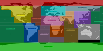
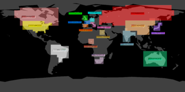
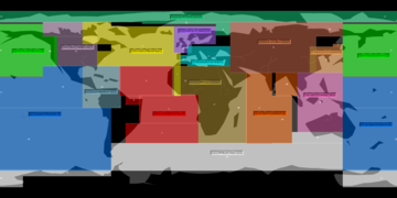
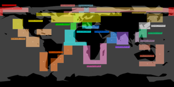
Images
Offsets Dump
TYPE | UFO-CE | TFDT-CE
Border/River | 0x074AD4 - 074DF7 (804) | 0x08AE00 - 08B00F (528)
CountryName loc. | 0x074DF8 - 074E57 (96) | 0x08B010 - 08B06F (96)
RegionalZones | 0x074F38 - 07508B (340) | 0x08B1D0 - 08B34B (380)
CountryZones | 0x075090 - 075201 (370) | 0x08B350 - 08B4CB (380)
Image Creation
- File:XCOM GMI.rar (UfoPaedia.local.copy) (build21)
Utility to convert X-COM1 and X-COM2 Geosphere worldmap data into image-maps.

Currently only supports the CE version of UFO and TFTD.
- currently no pre-checks are made to verify the used files or encountered data content.

For the image generating this program uses ImageMagick.
so before using XCOM_GMI you need to pickup a copy of ImageMagick and install it.

Supported data:
- Ground Map: gray-scale wireframe only at the moment.
- Regional Zones: no Regional name tags, but zones use same colors as in X-COM.
- Country Zones: no Country name tags, but zones use same colors as in X-COM.
- Border/River lines.
maybe later:
- City locations/names.
- Zone name-tag locations/names.

Additional info:
- coordinate grid image generator.
- adjustable Lon/X offset.
- adjustable Face-Number render for Geosphere ground-grid. (merged or as separated image)
* generated images are uncompressed tga's -> 175MB for a full set.

Program OS support is limited to windows Xp and higher.
[eof]


